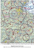
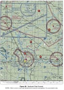
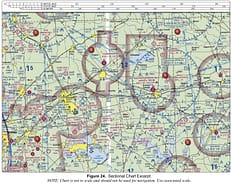
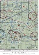
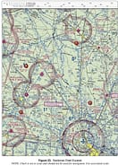
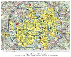
Class C. Class D. Class E.
Navigating Charts
Home/Navigating Charts/Page 2UAV Campus | Remote Pilot FAA Exam Prep for Drones Latest Questions
The flag indicates that there will be a large obstruction depicted on ...
High density military operations in the vicinity. Unmarked balloon on a cable up ...
Refer to the legend for special use airspace phone number. This information is ...

