Dashed Blue Solid Magenta Dashed Magenta
UAV Campus | Remote Pilot FAA Exam Prep for Drones Latest Questions
Within the Mode C Veil, remote pilots are exempted from needing airspace authorization under 14 CFR part 107.41 The Mode C Veil is an exemption from remote ID requirements. Traditional aircraft within the Mode C Veil are required to be ...
4000 feet AGL. 1200 feet AGL. 1200 feet MSL.
Shaded Magenta Shaded Blue Dashed Magenta
UAV CampusAdministrator
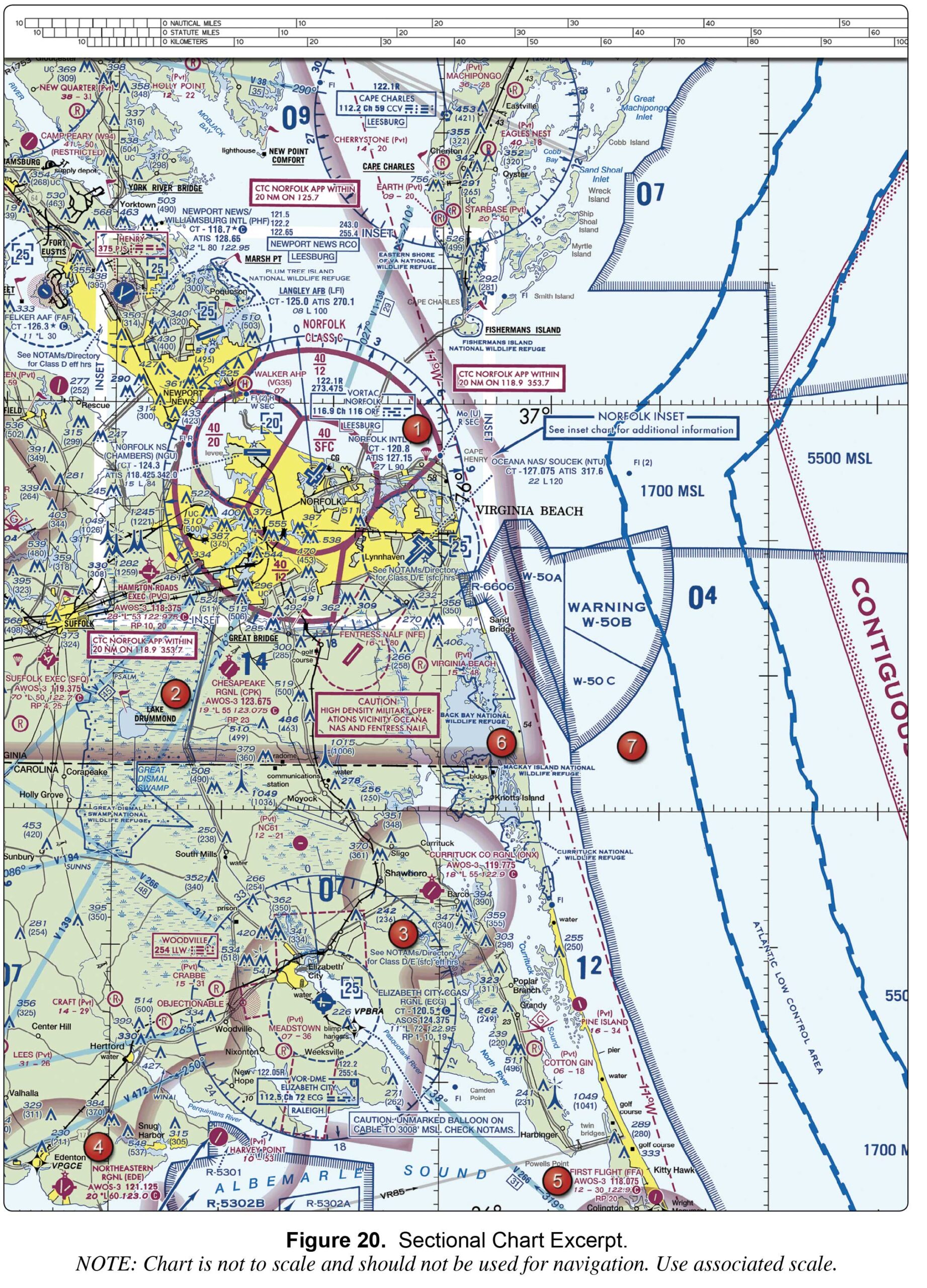
Military training activities that necessitate acrobatic or abrupt flight maneuvers. High volume of pilot training or an unusual type of aerial activity. Unusual, often invisible, hazards such as aerial gunnery or guided missiles.
UAV CampusAdministrator
when the weather minimums are below basic VFR. when the associated control tower is in operation. when the associated Flight Service Station is in operation.
UAV CampusAdministrator
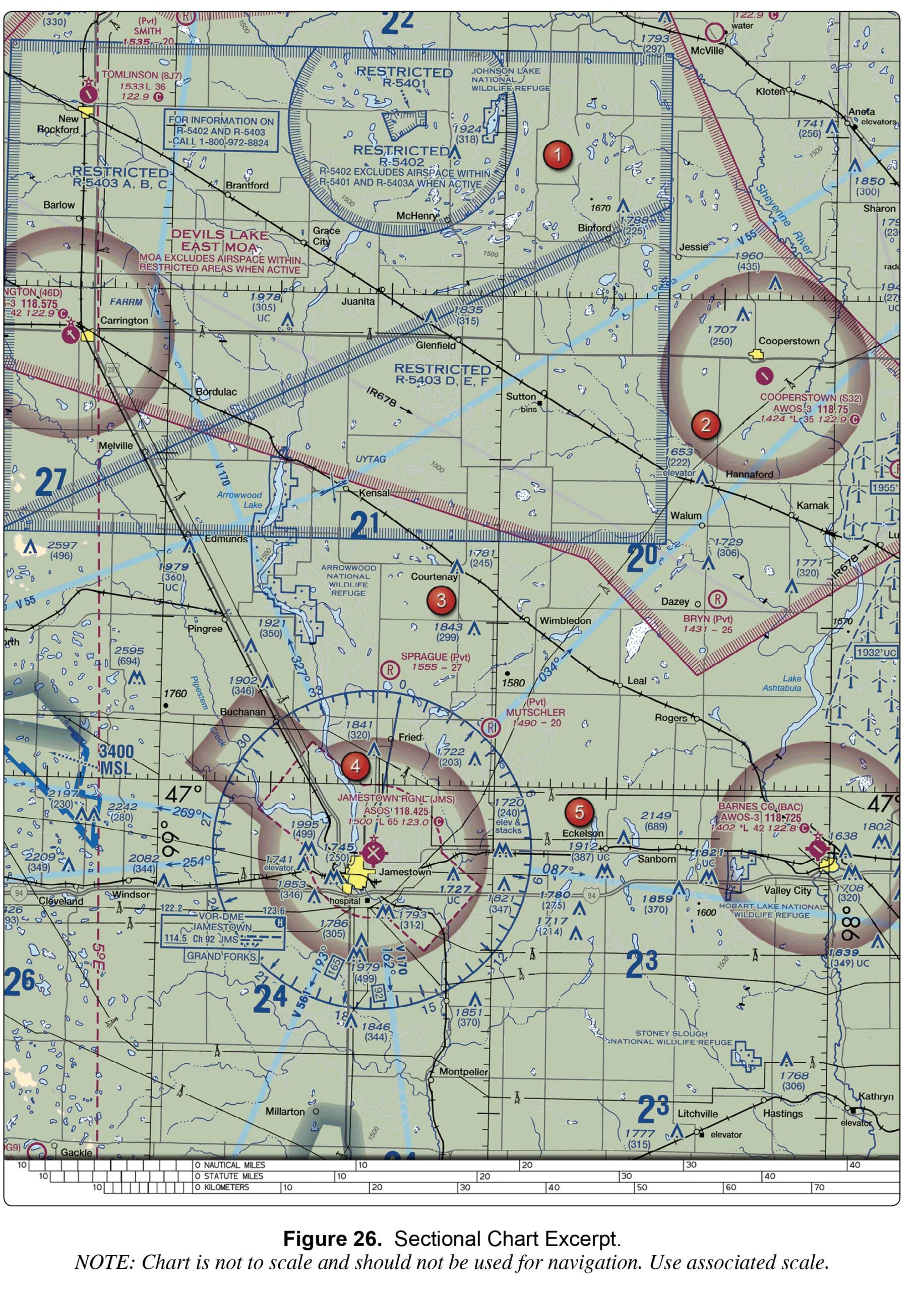
High volume of pilot training or an unusual type of aerial activity. Military training activities that necessitate acrobatic or abrupt flight maneuvers. Unusual, often invisible, hazards to aircraft such as artillery firing, aerial gunnery, or guided missiles.
UAV CampusAdministrator
Via the top of the sectional chart. Via the FAA’s UAS Facility Maps. Via the FAA’s DroneZone.
UAV CampusAdministrator
MOA and Restricted Areas. Alert and Restricted Areas. MOA and Alert Areas.
UAV CampusAdministrator
Zipper blue lines Grey Lines Light blue lines